Preparing the world for
a future with drones

Karina Nasretdinova joins the DronePrep Innovation Team

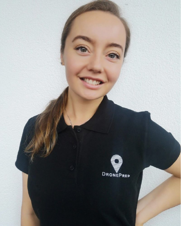
The DronePrep team is excited to announce that Karina Nasretdinova has joined DronePrep as Innovation Lead.

Karina

With a background in aviation and innovation, Karina brings a wealth of expertise in the international autonomous vehicle market. She has a deep understanding of the challenges facing the UAV sector.

Starting her career in commercial aviation, Karina found a passion for emerging technologies within the sector. In 2016, she became a co-founder of WATTS Future Technologies. The start-up is aiming to revolutionise wireless charging in both consumer electronics and the autonomous vehicle sector. The goal of the project is to equip all infrastructure with wireless charging stations: from ground transportation to new types of aircraft. This will contribute significantly to the overall development of the electric transport ecosystem.

Karina has worked with a leading British eVTOL company. In 2019 she completed an in-depth analysis of the urban air mobility market.

Outside of the “day job”, Karina is an avid videographer. She is also a keen storyteller with a passion for documentary filmmaking. She hopes to document the progress of world-changing technologies in aviation and to tell the stories behind the projects.

Karina will support co-founder Gareth Whatmore in the Innovation team.

“I’m really excited to join DronePrep. It’s a company which is not just focused on commercial gain, but rather on the growth of the entire sector. I’m looking forward to being part of the innovation team and providing great opportunities to drone companies and eVTOLs across the world.”


– Karina Nasretdinova, Innovation Lead, DronePrep

DronePrep Innovation

The DronePrep Innovation team is championing drone technology in the UK. Working with industry leaders, we are pioneering drone solutions to complex problems. Find out more by clicking here.

Droneprep Logo BW

Bradford Estates opens for drone R&D

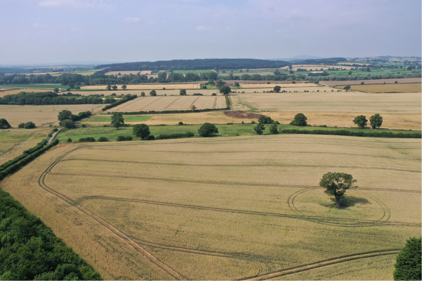
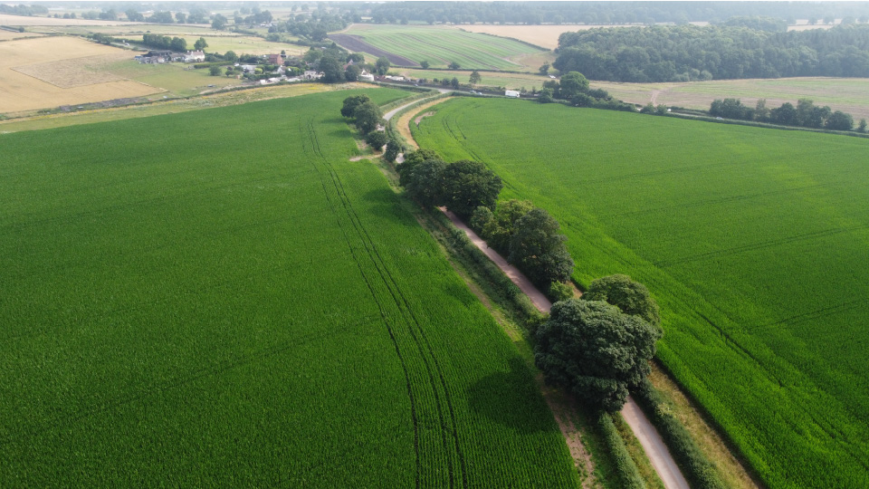
Finding suitable sites for drone operations can be a challenging task. With £65M in investment now available through the Future Flight Phase 3 competition, companies submitting applications should consider Bradford Estates in the West Midlands. The estate has just opened to applications for drone flight through its Drone Access Policy. The site offers an ideal location for carrying out drone research and testing.

Bradford Estates has recently signed up to a Drone Access Policy for three unique areas of their site. The estate is located on the border of Shropshire and Staffordshire.

Just over 3,000 acres – one-quarter of the 12,000-acre site – will be available for drone R&D projects. Bradford Estates has adopted a progressive approach to encourage innovation in the region.

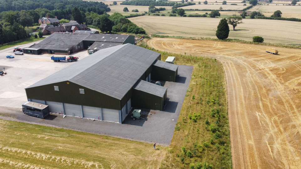
The sites feature majority arable land, with access to secure storage, power, and both outdoor and indoor facilities.

Located away from major airports, the quiet airspace could provide the perfect solution for anyone looking for outdoor testing sites.

The site is located just 30 miles northwest of Birmingham and is easily accessible from the M54 and M6.

As a forward thinking business, we welcome the advancement of technology. We are therefore keen to entertain proposals to use Bradford Estates land to assist in the development of drones and robots. We are happy to provide a bespoke package tailored to the needs of the individual project and look forward to welcoming you to Bradford Estates!

–  Rob Paul, Estates Director

Bradford Estates is open to R&D opportunities, click the link below to see their full Access Policy.

For further details of this and other available sites contact DronePrep: [email protected]

Bradford Estates
Bradford Estates

The DronePrep Map

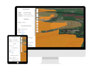
Bradford Estates is the latest landowner to join our Platform. Check out The DronePrep Map to find other great locations for commercial drone use.

DronePrep Map

DronePrep at the World of Drones & Robotics Congress 2021

DronePrep is delighted to represent the UK at the World of Drones & Robotics Congress 2021. This is our second year, with Co-Founder & CTO Claire Owen also asked to speak at the event on 18-19 August.

This year’s congress will be held both online and in-person at the Brisbane Convention and Exhibition Centre, Australia. DronePrep was approached by the Department for International Trade (DIT) and asked to represent the UK. We will be joining their virtual pavilion.

The World of Drones Congress and Robotics Congress is the largest drone event in the Asia-Pacific region. Visitors can to see the latest industry developments, applications and policies. Bringing together the experts in drones, robotics and autonomous systems, the congress provides a great opportunity to collaborate.

Following successful trials in Cornwall and Scotland, Claire will be discussing DronePrep’s consortia work with Royal Mail. We will also be showcasing drone delivery for medical purposes and discussing the hurdles to overcome. DronePrep is excited to attend this year’s World of Drones & Robotics Congress.

Interested in attending? Use discount code D25PC for 25% off tickets when registering. For more information, check out: https://www.worldofdrones.com.au/
Planning to be there? Get in touch, come see us on the virtual stand.

DronePrep Innovation

The DronePrep Innovation team is championing drone technology in the UK. Working with industry leaders, we are pioneering drone solutions to complex problems. Find out more by clicking here.

Droneprep Logo BW

DronePrep’s Claire Owen Nominated for Women in Tech Awards 2021

We are excited to announce that DronePrep’s Claire Owen has been selected as a finalist for the Midlands Women in Tech Awards 2021.

Claire has been nominated for the Innovator Award, which is “…awarded to a woman designing, developing, researching, implementing or being exceptionally creative with technology in an unconventional and innovative way.” 

Every vote counts in the race to first place – please head over to the website and vote for Claire:

https://www.womenintechawards.co.uk

View from Above: The Daylight tool and why lighting matters

The DronePrep team are excited to share that we have just released a host of cool new features on the DronePrep platform, including the important buildings dataset and a railway buffer zone. But perhaps the most exciting tool, particularly for photographers or those just looking to snap a few shots while out flying, is the Daylight tool.

The Daylight tool displays not only sunrise and sunset, but also where daylight and shadows fall at different times of the day, throughout the calendar year.

How do I use it?

Make sure the map is in 3D view (button on the left), then click on the light bulb icon under the search bar on the right-hand side of the map display. Choose the date and time, then simply move the slider to see how sunlight affects the map, or hit the play button to watch a time lapse. You can also tick the “show shadows” box to display those all-important shadows – stay tuned for our next update, when we’ll be adding 3D-buildings (and their shadows).

What’s the big deal?

We love the Daylight tool, and if you still haven’t tried it, you might be wondering why. To demonstrate the significance of mapping natural light, we asked our pilot in residence and aerial photographer Chris Gorman how he prepares for a photoshoot. Chris took this shot of Stonehenge during the summer solstice in 2018 (due to lockdown restrictions, access to the stones is prohibited this year).

“This image was summer solstice 2018, the only solstice in recent years to actually see a perfect sunrise. As a photojournalist and picture editor, I’ve seen a mountain of pictures of the solstice over the years, which are all pretty much the same. Usually silhouettes of people with the stones behind, people cuddling the stones, etc. As a newly qualified (PFCO) drone pilot it occurred to me that the scene had never been photographed from the air. Working out where the sun would rise was my first challenge. All I had to go on was that in the UK, the sun rises in the North East. So I roughly planned my image with this in mind. Without the use of actual precise information, I wouldn’t know the exact position of the sun until I arrived at 4.45am. This is where DronePrep’s Daylight tool would come into its own. The image is shot HDR (High Dynamic Range), this is 6 frames exposed one stop apart and then blended together resulting in an image as the eye saw it. The final image was published in the The London Evening Standard, Daily Telegraph, The Times, The Daily Mirror, The Guardian and The Daily Mail, The New Zealand Herald and many more.”


– Chris Gorman, The Big Ladder Photographer.

Like the new Daylight tool? Tag us on social with any pictures or videos. We’d love to hear feedback on the new features, if you have ideas or comments, get in touch through the usual channels below.