Preparing the world for
a future with drones

The DronePrep Team is heading to FOCUS 2021

We are joining filmmakers, producers, writers and drone videographers at the FOCUS 2021 international production show in London. After a virtual edition in 2020, the event returns in a hybrid format on 7-8th December.

FOCUS

DronePrep is heading to FOCUS on 7th December at the Business Design Centre London. The two-day event will host exhibitors from across the creative screen industries: film, TV, advertising, games and animation. The event offers attendees a chance to meet with content makers, film commissions, production services and locations providers.

Why are we going?

The DronePrep team will be joining the Bristol Film Office, who have implemented a proactive drone policy for filming on Bristol City Council land. The introduction of the policy also allows hobbyist pilots to fly recreationally in four locations across the city.

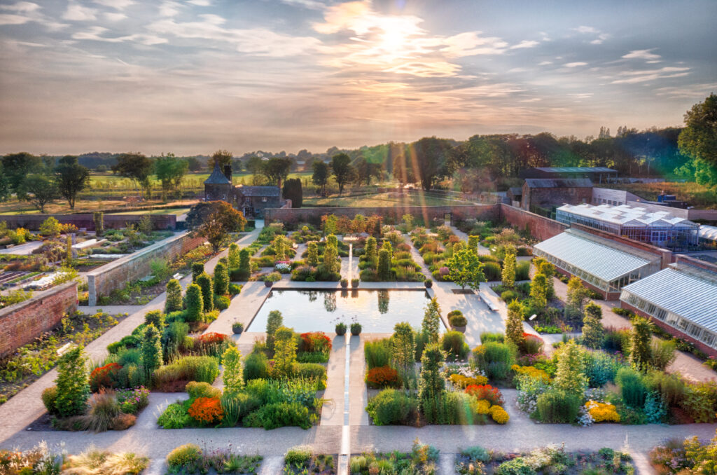
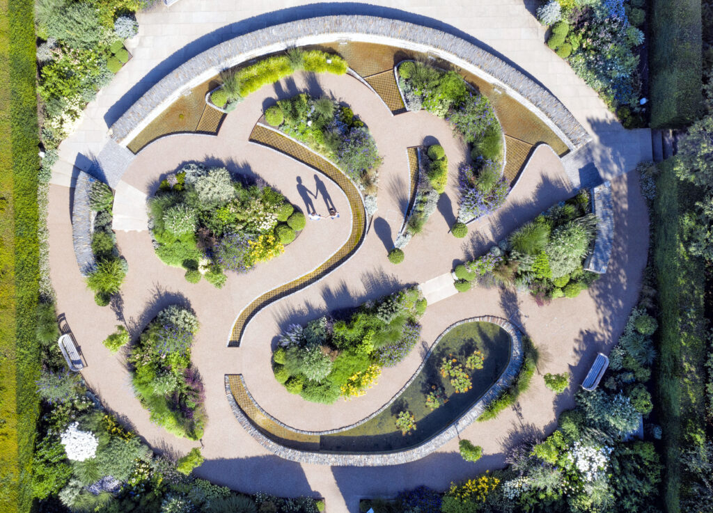
Opening up new locations for flying isn’t just about hobby flight. The DronePrep team support the introduction of sensible, safe policies for commercial flight, which includes the use of drones for filming. With aerial videography on the rise, it’s important that both public and private landowners are prepared.

“Drones are becoming more and more popular in professional filmmaking. Sadly, getting permission to take off and land can be a headache for pilots. So, smaller production companies don’t always have the time or expertise to go through bylaws and track down landowners. We are working with local authorities and film offices to simplify applications and create clear policies for pilots.”


– Keith Osborne, Land Partnership Manager

Are you going to FOCUS too?

Get in touch and say hello to the team: [email protected]

You can learn more about the event by clicking here.

Filming with drones

Are you a drone filmmaker? We are adding new policies to the DronePrep Map for all drone videographers looking for the best spots. Check out The DronePrep Map for more.

DronePrep Map

Spotlight On: Sam Gillespie, Over The Top Drones

We spoke to Sam Gillespie [@samgfilms], filmmaker and director of Over The Top Drones, about the trials and tribulations of commercial drone filming & photography. With a background in photography, Sam moved into the world of filmmaking and took the leap to aerial work after obtaining his PfCO in 2018. Having worked on everything from construction to motorsport to marathons, Sam had some great tips for anyone looking to get started as a paid pilot.

Sam Gillespie

Image by Daniel Arkell

How did you get involved in drone work?

I left a corporate job in 2017 to pursue my passion for photography. That very quickly morphed into video work and then, over three years ago, I decided I wanted to start offering aerial drone filming and photography commercially. I’d been flying recreationally for about a year at that point, and in 2018 I did the PfCO training. Drone work initially started off as a bit of an “add-on” to my video production business at the time, but it’s become one of the offerings I’m best known for.

Sam Gillespie

What kind of drone work do you do now?

There are essentially two types of drone jobs I carry out. The first is acting as a drone operator/supplier on large-scale productions where we will either fly the Inspire 2 (with dedicated camera operator) or carry out the filming with a Mavic-series drone plus spotter/observer. Files are offloaded or sent to the client and that’s where our involvement ends. The second is the full-package, start-to-finish work with clients where we’ll carry out all the pre- and post-production, etc. As for the industries, it’s been everything from construction to property companies and automotive… the beauty of aerial drone filming is its versatility across sectors.

And which area do you enjoy the most?

The automotive stuff is always pretty fun. Challenging, but fun chasing cars/bikes at full speed. And it always looks cool in the showreel!

How much time do you spend flying, versus planning and post-production?

Not enough I don’t think! Of course, living in the UK, a lot of what we do is weather dependant. We had a job back in February that we had to push back three or four times because of the rain, wind and snow on different days.

When I started out, pre-flight planning would take quite a long time, but once you’ve done a few commercial jobs, you know what you’re looking for. One tip I’d give to people starting out: don’t be afraid to pick up the phone. I’ve done jobs at the end of one of Heathrow’s runways. I called up on the Monday and had permission ready to go for the shoot day on Wednesday. These things can often take much longer though, so it’s often a case of managing the client’s expectations of what is possible at short notice.

I’ve been able to secure Operational Safety Case, or “OSC”, permissions for Over The Top Drones which means we can not only operate at reduced distances (on take-off/landing and in-flight) but also at 600ft (subject to various conditions being met as part of those permissions from the CAA). This opens a lot of doors in terms of where we can operate in congested areas, but the pre-production time on these jobs is of course typically much longer due to the increased risk and all the mitigations that need to be put in place.

What advice would you offer pilots starting out?

I’d say work on getting a killer body of work. A lot of people do the training, then they’re wondering why the phone isn’t ringing, but you’ve got to work on building that network. Every time you take a great shot, post in online, show everyone you know. Every time you meet someone, tell them “I’m into drones”, people always find it interesting as it’s still pretty novel. And maybe the people who see your post or hear your stories don’t need a drone operator today, but six months down the line when they do, they’ll remember you and you might get a call or message.

Sam Gillespie

I’d also recommend focusing on shooting the kind of work you want to do. By that I mean, if you’re just shooting roof surveys, it’s going to be hard to do travel photography, because your clients are going to want to see it in your portfolio. When I wanted to break into the construction industry, I approached a small local company and got some great footage of them with heavy-lift cranes which I was able to show as an example to one of the UK’s largest construction companies. I’m sure that’s what got me the job.

How do you think the industry has changed?

I think the barriers to entry are lower now. You can pick up a Mini 2, fly in a city with just an A2CofC. Camera quality is so good nowadays also, for less than £1,000 you can be getting stunning, 4K quality video.

Sam Gillespie

Are you using The DronePrep Map?

I am. I use a few different applications for pre-flight planning, one of which is DronePrep. What’s great with DronePrep is that if you’re really struggling to find somewhere to take off, you can quickly find landowner contact information on the map. I’ve used that in the past to get in touch with landowners near me, it’s a very useful service. Another good feature is just how quickly you can get latitude and longitude positions if you need to run a NOTAM search. And being able to see all the local landmarks that you might want to consider when planning a flight – schools, police stations, that kind of thing.

And looking to the future?

Drones are here to stay and I’m hoping that people’s hesitancy towards them is going to diminish with time. I’m sure the number of people working in the industry is going to skyrocket – not trying to make a pun there! – and I hope there will be a better environment for both recreational and commercial operators.

A lot of operators are going to have to update their fleets when the class marks come in to operate in congested areas or at big events. The rule changes have been a lot for us to get our heads round, and I’m probably in the same camp as a lot of pilots who are still operating under legacy permissions from the old PfCO. So that means at the start of 2023 things are going to change again, and we’re going to need to go down the GVC route.

As for the work itself, you can see people are starting to use drones for all sorts, like 3D-mapping of buildings, or to help inform decisions on renovations. However, I’m firmly on the creative side of things and much prefer shooting moving objects!

Sam Gillespie

Image by Tom Kahler

Follow Sam on Instagram and see more of his work on his website:

https://www.overthetopdrones.co.uk

View from Above: Chris Gorman takes on the RHS gardens

DronePrep pilot in residence Chris Gorman (aka The Big Ladder Photographer) has been as busy as a bee in the gardens of the Royal Horticultural Society (RHS). Since 2018, he has been capturing stunning aerial images of their sites across the UK. Read on for some words from Chris about his experience flying at all five sites, in all four seasons.

RHS Garden Bridgewater, summer. All images strictly Copyright: Chris Gorman/RHS

Working with the RHS

My relationship with the Royal Horticultural Society (RHS) began in 2018. I was asked by the London Evening Standard to find a drone image showing the beautiful colours of the autumn leaves in London. My first thought was to call the RHS and ask if I could come and photograph the stunning colours at Wisley Garden at sunset. They immediately agreed and the resulting image appeared in the paper the next day.

I was invited back to Wisley by the press team to photograph the garden in more detail, an opportunity I relished. A drone allows you to view the garden from a perspective that previously only the garden designer understood.

After several visits to Wisley, I was then asked whether I would like to photograph all RHS Gardens. That meant all four seasons, RHS gardens across the UK: Wisley in Surrey, Rosemoor in Devon, Harlow Carr in North Yorkshire, Hyde Hall in Essex and, more recently, the brand new RHS Bridgewater in Manchester.

RHS Garden Hyde Hall, winter All images strictly Copyright: Chris Gorman/RHS

Planning photoshoots 

The freedom of creativity that the RHS permits when carrying out this work is why the images work so well. I arrange all shoots based on the weather; sunlight is vital for a good shot. With some of the locations involving 400-mile round trips, I need to be confident that the weather is going to play ball when I get there. This summer has tested this to the extreme, with forecasts often changing drastically from one day to the next. I’ve had a few occasions when three different weather apps have been incorrect!

I use DronePrep’s Daylight Tool when planning many of these shoots, it gives me specific information about where the sun is going to be at sunrise and sunset – it’s a feature I absolutely love.

Permission-wise, the shoots are quite easy as landowner permission is already in place with the RHS. The only garden that has airspace issues is Bridgewater in Manchester, due to its proximity to the airport. Manchester Airport has been very helpful so far with permission easily obtained.

RHS Garden Rosemoor, summer. All images strictly Copyright: Chris Gorman/RHS

The resulting images

Many of the images have appeared in the national press, From the Daily Telegraph and The Times to the Daily Mail and Daily Express. As a media photographer with nearly 30 years of experience, I know exactly what a picture editor likes to see. Crucially, an image needs to be pitched to a newspaper at the right time. Even a great picture needs a news hook to hang it on… hot weather, national gardening week, and so on.

The RHS has allowed me to indulge my passion for shadow images. There are some great shots of gardeners watering the flowers and raking leaves, or couples walking hand in hand through the roses.

I love how each garden looks completely different through the seasons, with something new to see from the air on each visit. After around 15 shoots at Wisley over the last three years, I still find something new to capture each time.

RHS Garden Wisley, winter. All images strictly Copyright: Chris Gorman/RHS

Chris’s images of RHS Hilltop can be seen in an exhibition at Wisley Garden in Surrey. The exhibition will run until mid-September.

Images copyright RHS and The Big Ladder Photographer – check out Chris’s work on Facebook and Instagram.

The DronePrep Map

Chris uses The DronePrep Map to help him plan flights and get landowner permission to take-off. Check out The DronePrep Map for everything you need to plan flights safely.

DronePrep Map

View from Above: Chris Gorman takes on Plymouth

DronePrep’s Pilot in Residence Chris Gorman, aka The Big Ladder Photographer, uses the DronePrep Map for planning aerial photoshoots. Chris just finished an assignment in Devon for the National Lottery Heritage Fund, resulting in this remarkable image of the sunset in Plymouth.

A new dawn for Plymouth. The brief from the Lottery Heritage Fund was simple:

“We’d like a beautiful sunrise or sunset image of Plymouth to send out to media to illustrate our announcement that the city is to be given a £10m grant to help create the UK’s first National Marine Park”.

A simple brief you may think. However, I had just one day to shoot, meaning weather forecasts and permissions needed to fall in line within 36 hours. Sunrises and sunsets aren’t a given, and considering how awful the summer weather has been so far this year, I knew I may struggle.

My first port of call (no pun intended) was the Port Authority and the local council for permission to fly in the Plymouth Sound area. This was the simple part if I’m honest, as the council were most helpful in granting permission straight away after providing all the relevant documentation.

The hard part was the weather.

I arrived in Plymouth to completely grey skies, despite all three of my weather apps forecasting sunshine. The final image you see here was the only time I saw the sun in 36 hours in the town. The shoot was supposed to take place the following day, but I had this sneaking feeling the sun might put in a brief appearance at sunset.

The time of sunset collided with the England-Denmark match, which partially helped as the Sound was near-deserted due to everyone watching the game. All through the very tense first half of the football, I dashed back and forth to the window to check out what the sun was doing. At halftime, I checked once more and, to my amazement, the sun was out in a blaze of glory for the first time that day. I gathered by gear and ran to my pre-arranged take off spot.

I know from experience that a good sunset can last just seconds, which is why DronePrep’s Daylight Tool is so useful when planning these shots. The last hurdle to jump came from the drone itself, which refused to calibrate the gimbal on first start up… This always involves a drone restart, which takes 40 seconds to complete each time. I could see the picture drifting away in front of me…
Suddenly, on the 3rd start up, the drone finally played ball. I launched and immediately took this shot (which is actually a 5-frame HDR blended in Photoshop). This image saved the entire assignment, as the sun didn’t show its face again. And I didn’t miss a single goal in the football!

The resulting image appeared on BBC News, The Daily Express, The Daily Star and various local media.

Check out more of Chris’s work at www.bigladder.co.uk