The DronePrep Map Key
A guide to the layers on the DronePrep Map.
what3words
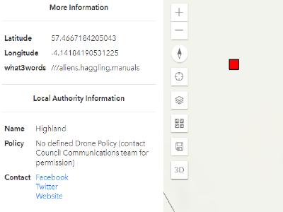
We are fully integrated with what3words, so every 3x3m square includes the unique three-word address offered by the platform.
Words are displayed in the side panel when you click anywhere on the map.
Measurements
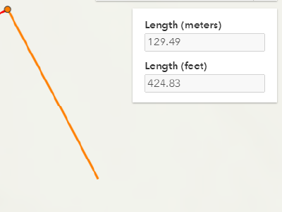
These tools allow you to plan your flight visually, draw routes and measure distances. We recommend using them to ensure you allow a safe distance between your drone and any risk areas or no fly zones.
This feature is available to Lite, Plus and Premium Members.
Flight Restriction Zones
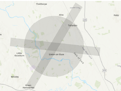
Flight Restriction Zones (FRZs) – the boundaries around airports and airfields – are marked in grey on the map.
Click on any zone to see the FRZ name and contact information.
Foreshore
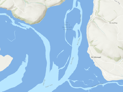
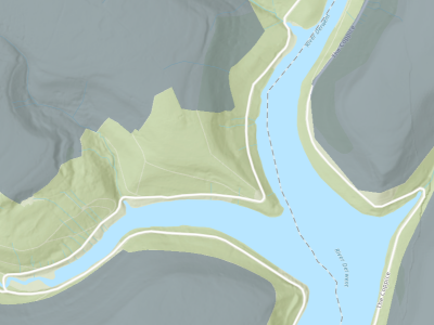
All foreshore – the limit of low and high tide along the shore – is marked by dark blue on the map.
Lite, Plus, and Premium members will be able to see Crown Estate owned foreshore in the side panel, alongside landowner information.
Greenspace
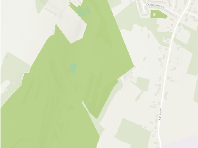
Greenspace is highlighted in – you guessed it – green!
Click on a Greenspace area to view information on the type of land and get more information about planning a flight within Greenspace.
Land Parcels
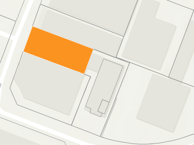
The DronePrep Map provides landowner information on all land parcels in the UK. Zoom in to see property boundaries appear, then click on the map to highlight a parcel in Orange – owner information is displayed in the side panel.
This feature is available to Lite, Plus and Premium Members.
National Trust
National Trust sites are mapped in light grey.
Click on any site to view the name and a link to further details in the side panel.
Overhead Power Lines
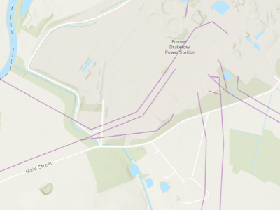
Overhead Power Lines are marked in Purple.
Rail
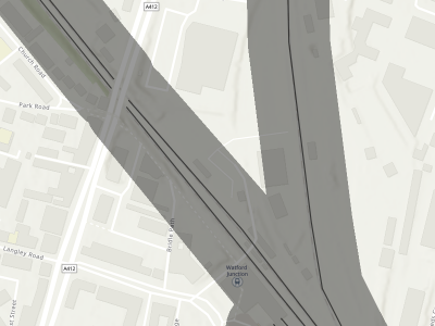
Railway lines are displayed as solid black lines with a 50m buffer zone in grey.
Sites of Special Scientific Interest
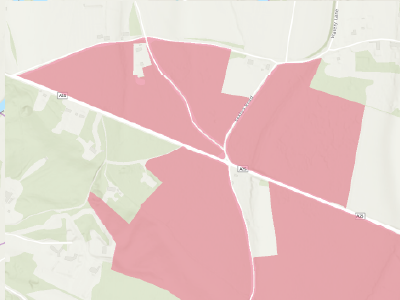
SSSI’s are highlighted in red on the map.
Click on a SSSI to see the name and a link explaining why these areas are important to consider when planning your flight.
Important Buildings
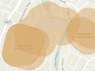
Hospitals, Schools, Fire & Police stations – all highlighted in orange which includes a 150m buffer zone around, not just the building, but also the whole landowner area.
Start planning your next flight today
Find places to fly your drone.

